img-name-mising

MTB track no. 9 - Boucle du Banchet

Sport, Cycling sports, Mountain biking itinerary in Nances
29.1 km
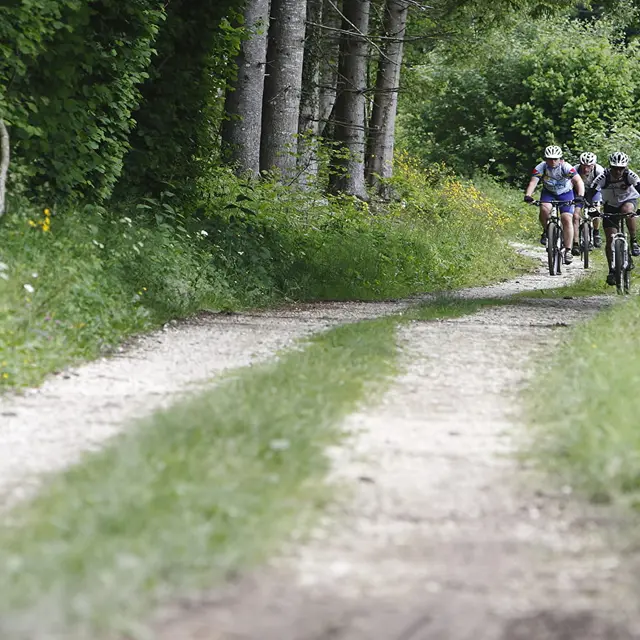
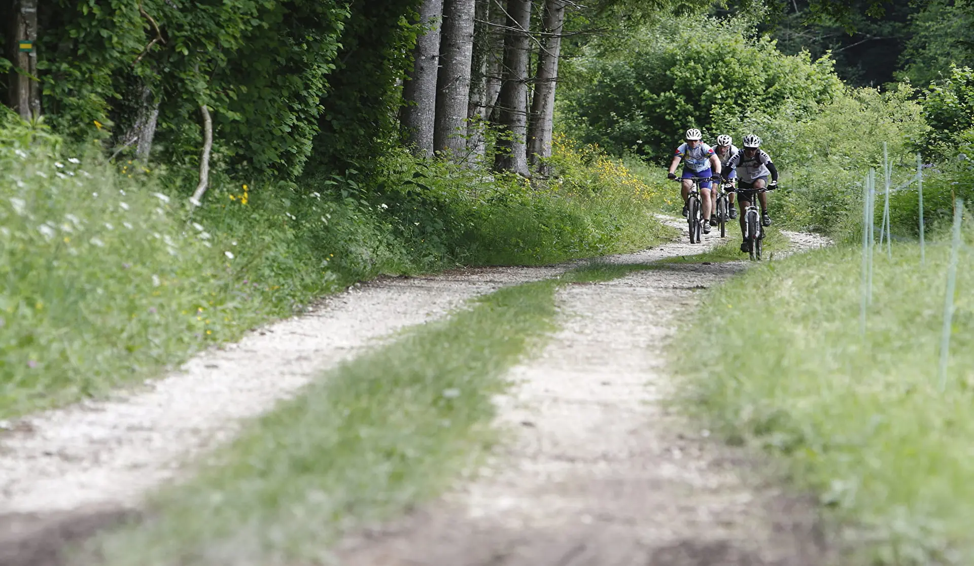
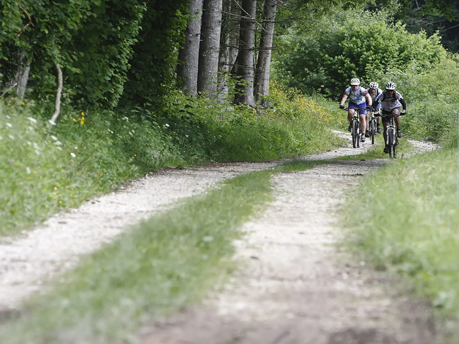
  • A route along the gentle side of the Lac d'Aiguebelette basin, featuring the ascent of the Col de la Crusille, followed by a forest crossing of the Banchet Mountain, a non-technical descent, and a peaceful finish along the lake’s western shore.

  • This route extends circuit no. 5 southward from the Col du Banchet. Along the way, you'll take a short detour to the Grand Bec viewpoint (the highest point of the route after the Col du Banchet) for its panoramic view over the Val Guiers. You'll also pass through the charming village of Dullin, and a beautiful descent will take you down to the Rondelet stream (with its old stone bridge). From the Gué des Planches roundabout, the return follows the lake’s western shore via the village of...
    This route extends circuit no. 5 southward from the Col du Banchet. Along the way, you'll take a short detour to the Grand Bec viewpoint (the highest point of the route after the Col du Banchet) for its panoramic view over the Val Guiers. You'll also pass through the charming village of Dullin, and a beautiful descent will take you down to the Rondelet stream (with its old stone bridge). From the Gué des Planches roundabout, the return follows the lake’s western shore via the village of Saint-Alban-de-Montbel.
679 meters of difference in height
  • Maximum altitude : 688 m
  • Minimum altitude : 377 m
  • Total positive elevation : 679 m
  • Total negative elevation : -678 m
  • Max positive elevation : 173 m
  • Min positive elevation : -150 m