-
En live
1 - ski nordiqueMise à jour : 01 février 2025 - 09:30
- Col de Marcieu
- Col de Porte
- Le Désert d'Entremont
- Le Granier
- Le Sappey en Chartreuse
- St Hilaire du Touvet
- St Hugues / Les Egaux
- Le Planolet
WeatherTotal snow depth10cmSki lifts0/4Mise à jour : 04 février 2025 - 16:39 -
Book
online -
Shop
online
Le Belvédère d'Arpison
Sport, Winter sports, Snowshoe itinerary
in Saint-Christophe-sur-Guiers
10.9
km
7h
Hard
-
This route is for experienced snowshoers and can be done during the day. You can admire the Riondettes lookout with its panorama of St Laurent du Pont and especially Arpison, the meadow and the lookout with a breathtaking view of the Currière Monastery.
-
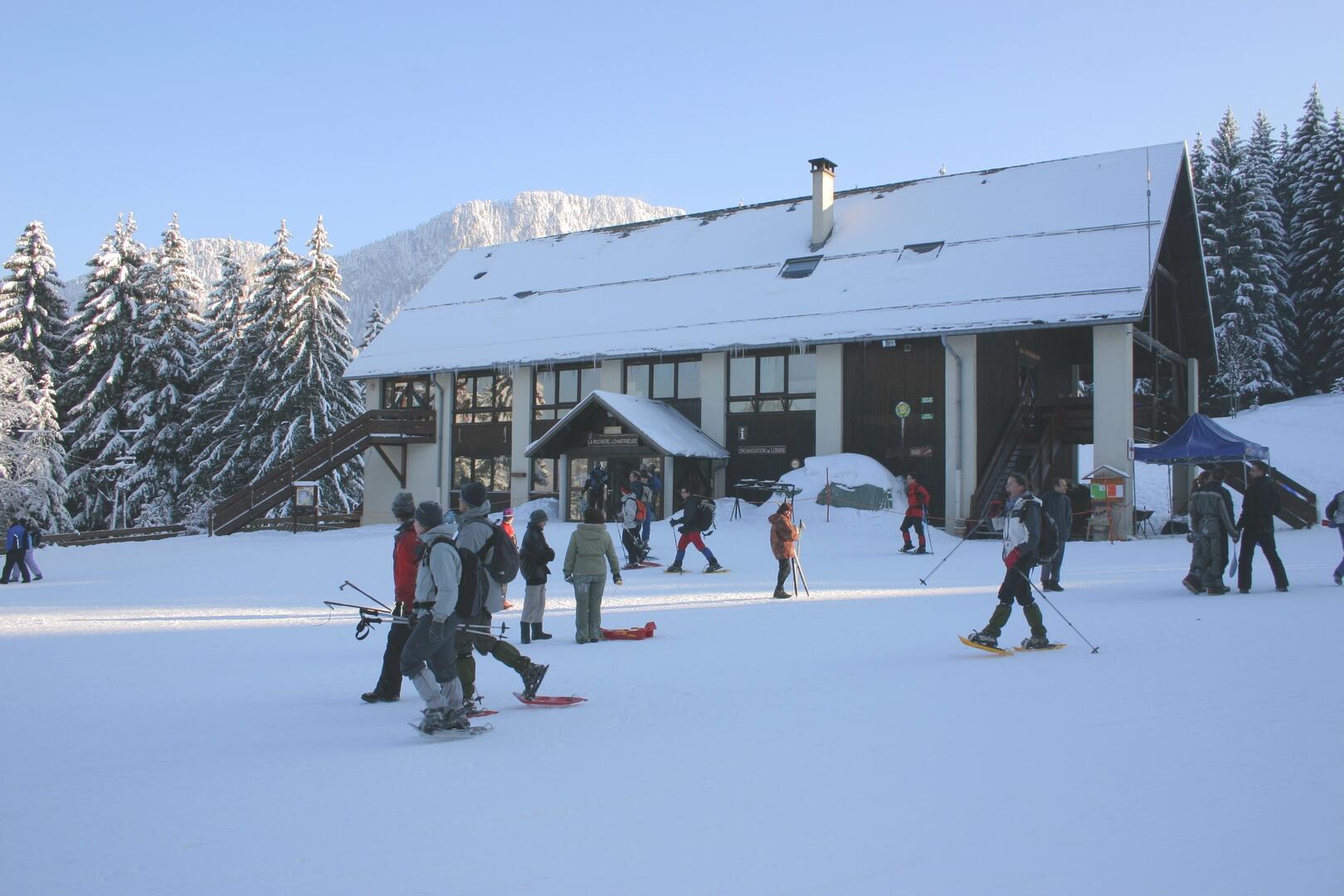
The course starts and finishes in the same place as number 2. Starting from the La Ruchère Nordic site, you begin in the forest to the right of the entrance to the cross-country trails.
The wide trail winds its way back to the cross-country ski trails, with narrower sections
undergrowth. You skirt the edge of the communal forest, then cross the tracks to join the wide path to the Riondettes belvedere. The view over the valley is splendid. Go back a few metres and take the right-hand loop...The course starts and finishes in the same place as number 2. Starting from the La Ruchère Nordic site, you begin in the forest to the right of the entrance to the cross-country trails.
The wide trail winds its way back to the cross-country ski trails, with narrower sections
undergrowth. You skirt the edge of the communal forest, then cross the tracks to join the wide path to the Riondettes belvedere. The view over the valley is splendid. Go back a few metres and take the right-hand loop with a short climb that continues towards the Col de la Sariette. Continue left to join a wide track that climbs steeply to the Rochers de Pertuis ridge. You then descend to the Arpison meadow, which you climb up to reach the Belvedere and its exceptional panorama. Go back down the meadow and turn left onto the cross-country track, continuing downhill to join trail no. 2 at the end of the Riondettes meadow. Forests and meadows finally bring you back to the foyer, with a last sumptuous view of the cliffs of Les Eparres and Pas Dinay.
- Departure
- Saint-Christophe-sur-Guiers
-
-
Difference in height
- 507.483 m
-
-
-
Plain text period
-
From 15/12 to 10/03.
Subject to favorable weather.
-
-
-
Environment
-
-
-
Spoken languages
-
-
-
-
-
Documentation
- GPX / KML files allow you to export the trail of your hike to your GPS (or other navigation tool)
-
- See all reviews
- 507 meters of difference in height
-
- Maximum altitude : 1470 m
- Minimum altitude : 1165 m
- Total positive elevation : 507 m
- Total negative elevation : -507 m
- Max positive elevation : 174 m
- Min positive elevation : -182 m
Services
-
-
Services
-