-
En live
1 - ski nordiqueMise à jour : 25 février 2025 - 12:54
- Col de Marcieu
- Col de Porte
- Le Désert d'Entremont
- Le Granier
- Le Sappey en Chartreuse
- St Hilaire du Touvet
- St Hugues / Les Egaux
- Le Planolet
WeatherTotal snow depthSki lifts0/4Mise à jour : 14 avril 2025 - 14:09 -
Book
online -
Shop
online


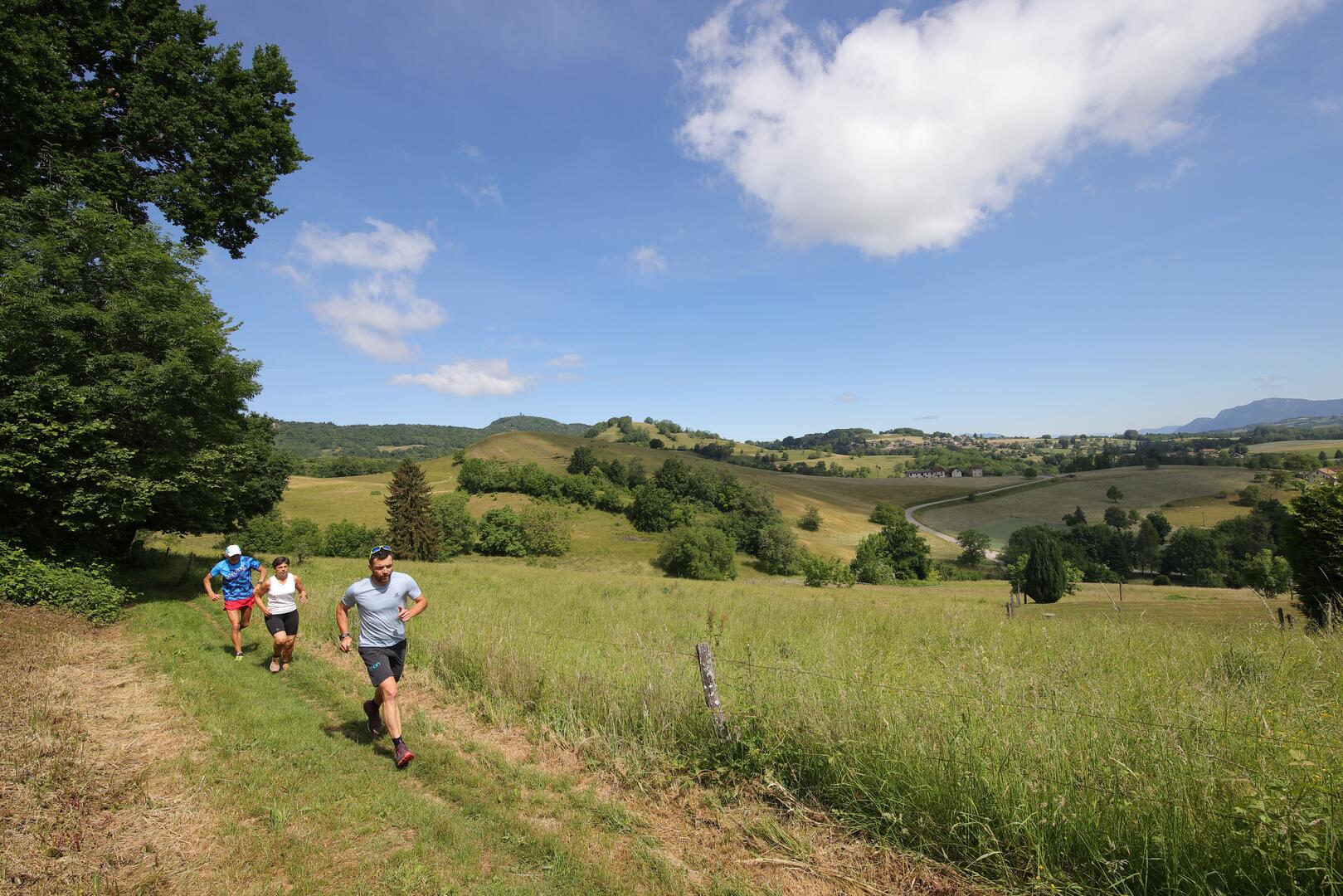
Trail tour du Lac d'Aiguebelette par Gerbaix
Pedestrian sports, Trail route
in Lépin-le-Lac
63.3
km
- Departure
- Lépin-le-Lac
-
-
Difference in height
- 3085.57 m
-
-
-
Plain text period
- All year round.
-
-
-
Spoken languages
-
-
-
-
-
Documentation
- GPX / KML files allow you to export the trail of your hike to your GPS (or other navigation tool)
-
- See all reviews
- 3086 meters of difference in height
-
- Maximum altitude : 1456 m
- Minimum altitude : 276 m
- Total positive elevation : 3086 m
- Total negative elevation : -3086 m
- Max positive elevation : 686 m
- Min positive elevation : -810 m
