


Guidebook with maps/step-by-step
From Col de Porte, drive to Habert du Col de Porte, 600m towards Chalets du Charmant Som, at the first parking lot.
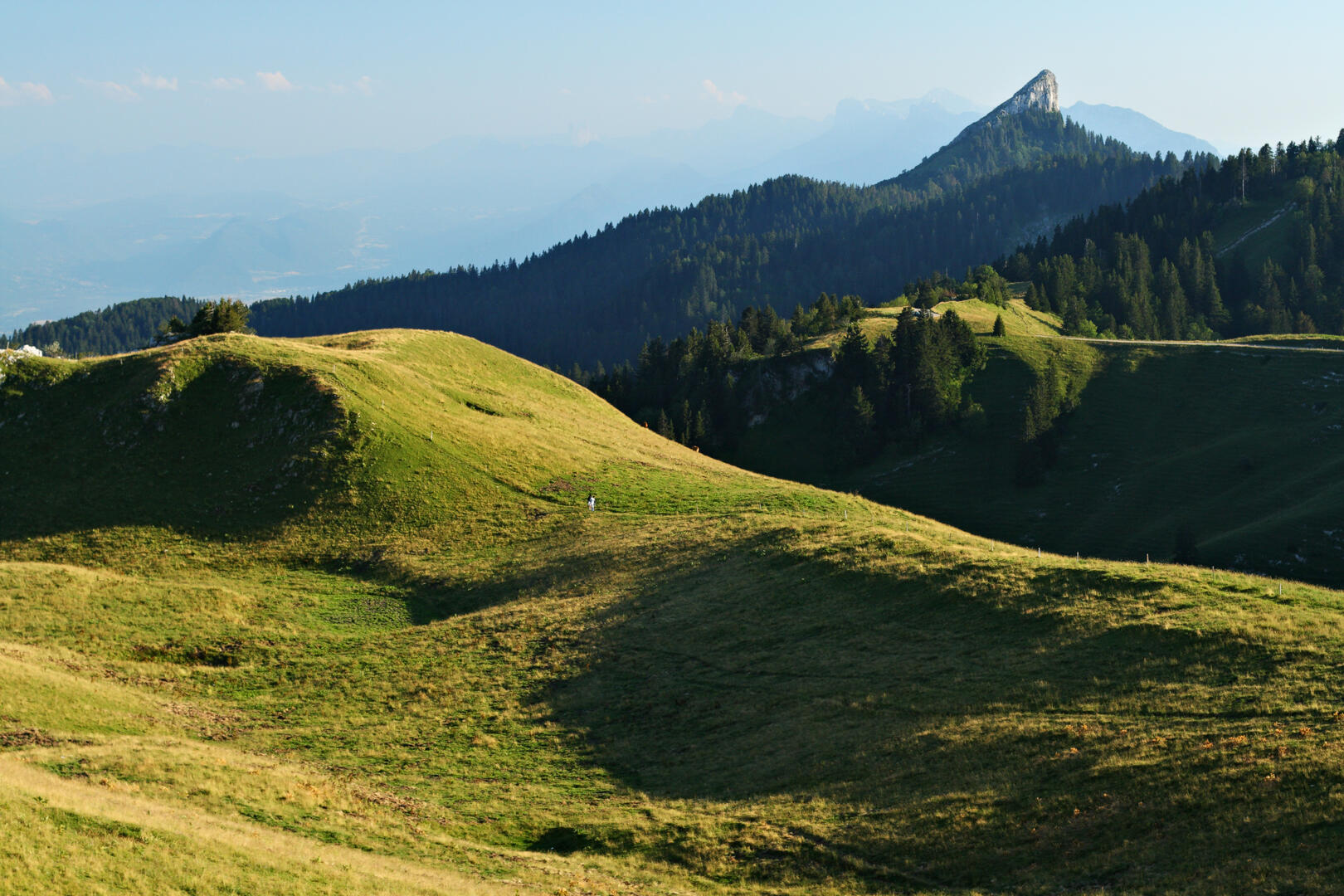
On foot, from La Prairie, take a wide forest track on the left. Follow the GRP Tour de Chartreuse (yellow and red signs) to Plénom, passing through Les Frettes. Leave the GRP to reach La Pinéa in a final effort before savouring the panorama from the summit. The last few steps are a little airy, so be sure to keep an eye on children and people prone to vertigo, especially when approaching the west cliff on the opposite side of the climb. Return by the same route.
On foot, from La Prairie, take a wide forest track on the left. Follow the GRP Tour de Chartreuse (yellow and red signs) to Plénom, passing through Les Frettes. Leave the GRP to reach La Pinéa in a final effort before savouring the panorama from the summit. The last few steps are a little airy, so be sure to keep an eye on children and people prone to vertigo, especially when approaching the west cliff on the opposite side of the climb. Return by the same route.


