- En live
-
Book
online -
Shop
online -
Mon Panier
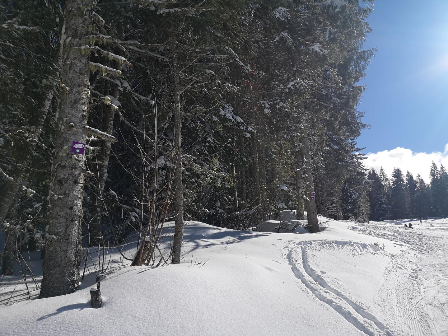
Itinéraire raquettes - Les Combes
Sport, Winter sports, Snowshoe itinerary
in Le Sappey-en-Chartreuse
2.3
km
1h
Very easy
-
A very pleasant loop between fields and forest above the village of Le Sappey en Chartreuse.
- Departure
- Le Sappey-en-Chartreuse
-
-
Difference in height
- 77.3333 m
-
-
- Parking: Foyer de fond parking lot
-
-
Plain text period
-
From 01/12 to 31/03.
Subject to favorable snow and weather conditions.
-
-
-
Environment
-
-
-
Spoken languages
-
-
-
-
-
Documentation
- GPX / KML files allow you to export the trail of your hike to your GPS (or other navigation tool)
-
- See all reviews
- 77 meters of difference in height
-
- Maximum altitude : 1081 m
- Minimum altitude : 999 m
- Total positive elevation : 77 m
- Total negative elevation : -80 m
- Max positive elevation : 41 m
- Min positive elevation : -4 m
Services
-
-
Services
-


