-
En live
1 - ski nordiqueMise à jour : 01 février 2025 - 09:30
- Col de Marcieu
- Col de Porte
- Le Désert d'Entremont
- Le Granier
- Le Sappey en Chartreuse
- St Hilaire du Touvet
- St Hugues / Les Egaux
- Le Planolet
WeatherTotal snow depth10cmSki lifts0/4Mise à jour : 04 février 2025 - 16:39 -
Book
online -
Shop
online
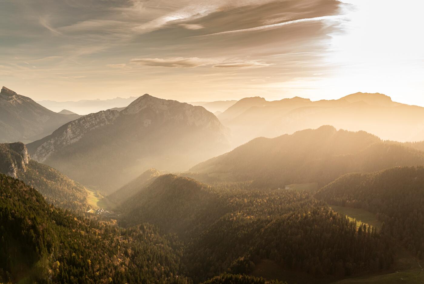
GR®9 en Chartreuse – Du lac d’Aiguebelette aux reliefs de Chartreuse
Pedestrian sports, Hiking itinerary
in Lépin-le-Lac
146.1
km
- Departure
- Lépin-le-Lac
-
-
Difference in height
- 5957.11 m
-
-
-
Plain text period
-
All year round.
Subject to favorable weather.
-
-
-
Documentation
- GPX / KML files allow you to export the trail of your hike to your GPS (or other navigation tool)
-
- See all reviews
- 5957 meters of difference in height
-
- Maximum altitude : 1697 m
- Minimum altitude : 217 m
- Total positive elevation : 5957 m
- Total negative elevation : -6170 m
- Max positive elevation : 1158 m
- Min positive elevation : -749 m
Services
-
-
Services
-