-
En live
1 - ski nordiqueMise à jour : 01 février 2025 - 09:30
- Col de Marcieu
- Col de Porte
- Le Désert d'Entremont
- Le Granier
- Le Sappey en Chartreuse
- St Hilaire du Touvet
- St Hugues / Les Egaux
- Le Planolet
WeatherTotal snow depth10cmSki lifts0/4Mise à jour : 03 février 2025 - 09:10 -
Book
online -
Shop
online
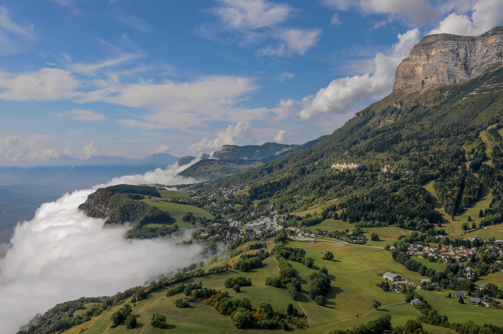
From the Valley to the Plateau
Sport, Pedestrian sports, Trail route
in Plateau-des-Petites-Roches
16.6
km
4h
Medium
-
Depart in the direction of Bec Margain to join the paths along the cliffs overlooking the Grésivaudan valley. After a diversion through the hamlet of Tournoud, you'll reach the Pas du Facteur and from there begin the descent to Craponoz.
- Departure
- Plateau-des-Petites-Roches
-
-
Difference in height
- 1330.67 m
-
-
-
Plain text period
-
From 01/04 to 31/10.
Subject to favorable snow and weather conditions.
-
-
-
Spoken languages
-
-
-
-
-
Documentation
- GPX / KML files allow you to export the trail of your hike to your GPS (or other navigation tool)
-
- See all reviews
- 1331 meters of difference in height
-
- Maximum altitude : 1054 m
- Minimum altitude : 277 m
- Total positive elevation : 1331 m
- Total negative elevation : -1331 m
- Max positive elevation : 598 m
- Min positive elevation : -512 m