-
En live
1 - ski nordiqueMise à jour : 25 février 2025 - 12:54
- Col de Marcieu
- Col de Porte
- Le Désert d'Entremont
- Le Granier
- Le Sappey en Chartreuse
- St Hilaire du Touvet
- St Hugues / Les Egaux
- Le Planolet
WeatherTotal snow depthSki lifts0/4Mise à jour : 14 avril 2025 - 14:09 -
Book
online -
Shop
online


From Mont Charvais to Bec Corbeau
Sport, Pedestrian sports, Hiking itinerary
in Saint-Baldoph
8.2
km
4h
Medium
-
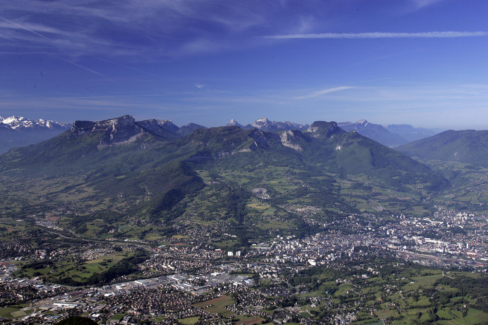
At the far north of the Chartreuse mountains, this trail overlooks the Combe de Chambéry and takes you on a peaceful walk along the heights of St Baldoph, one of the three districts in the Apremont wine-growing region.
- Departure
- Saint-Baldoph
-
-
Difference in height
- 577.731 m
-
-
-
Plain text period
-
From 01/05 to 30/11.
Subject to favorable weather.
-
-
-
Spoken languages
-
-
-
-
-
Documentation
- GPX / KML files allow you to export the trail of your hike to your GPS (or other navigation tool)
-
- See all reviews
- 578 meters of difference in height
-
- Maximum altitude : 820 m
- Minimum altitude : 318 m
- Total positive elevation : 578 m
- Total negative elevation : -578 m
- Max positive elevation : 307 m
- Min positive elevation : -92 m
Services
-
-
Services
-
