


-
En live
1 - ski nordiqueMise à jour : 25 février 2025 - 12:54
- Col de Marcieu
- Col de Porte
- Le Désert d'Entremont
- Le Granier
- Le Sappey en Chartreuse
- St Hilaire du Touvet
- St Hugues / Les Egaux
- Le Planolet
WeatherTotal snow depthSki lifts0/4Mise à jour : 14 avril 2025 - 14:09 -
Book
online -
Shop
online
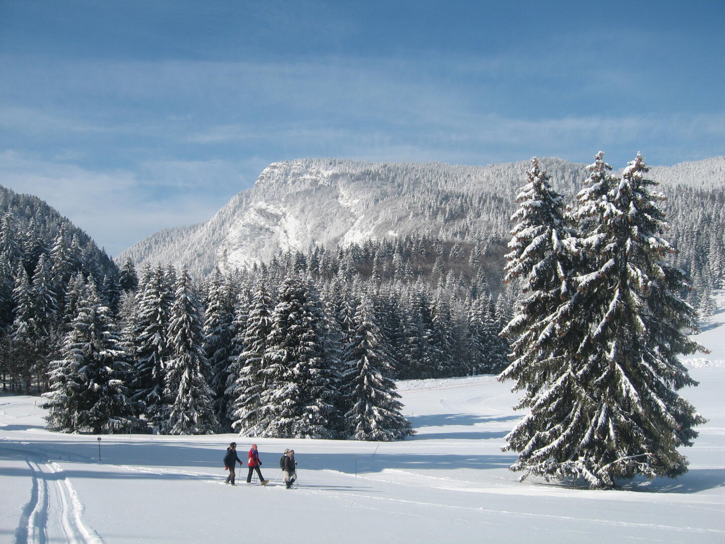
Boucle du Mollard - itinéraire hiver
Sport, Winter sports, Snowshoe itinerary
in Entremont-le-Vieux
5.3
km
2h 15min
Medium
-
It is not uncommon to come across a herd of chamois on this route which will lead you to the Col du Mollard. You will penetrate a mysterious beech forest for its play of shadows and its unusual silence. Take a break and you will hear your heart beating.
- Departure
- Entremont-le-Vieux
-
-
Difference in height
- 221.597 m
-
-
-
Plain text period
-
From 15/12 to 10/03.
Subject to favorable weather.
-
-
-
Environment
-
-
-
Documentation
- GPX / KML files allow you to export the trail of your hike to your GPS (or other navigation tool)
-
- See all reviews
- 222 meters of difference in height
-
- Maximum altitude : 1371 m
- Minimum altitude : 1168 m
- Total positive elevation : 222 m
- Total negative elevation : -222 m
- Max positive elevation : 164 m
- Min positive elevation : -43 m
Services
-
-
Services
-

